
Soliven, Evangeline
Ed tech 2
good day!
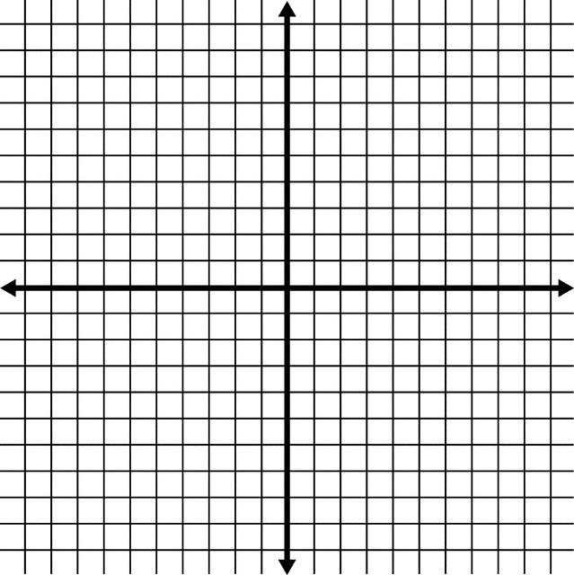
The Cartesian coordinate system is a system that is used to create visual representations of equations. These representations are made on a grid called the Cartesian Plane.
The Cartesian Plane can be thought of as a map. A map allows us to find the location of something or someone by using street names and numbers. Just like a map, The Cartesian Plane allows us to find the location of a point.

You may watch the story behind Cartesian Plane and how mathematician Rene Descartes discover the cartesian plane.
 |
The left-right (horizontal) direction is commonly called X. |
 |
The up-down (vertical) direction is commonly called Y. |
| Put them together on a graph ... |
|
|
The coordinates are always written in a certain order:
This is called an "ordered pair" (a pair of numbers in a special order)
And usually the numbers are separated by a comma, and parentheses are put around the whole thing like this:
(3,2)
Lets do some of the exercise!
In a one whole sheet of paper answer the following.
I. Identify in which quadrant the following points
(-3, 12),(2,1),(-1,-1),(1,-1)
II. Find the distance between two points
1.(-3, 12),(2,1)
2.(-1,-1),(1,-1)
III. Label the Cartesian plane
I. These regions are called quadrants. They are numbered from 1 to 4, with Roman numerals, counter clockwise, around a central point of origin.

Until now, we only knew the origin ‘O‘ and the first quadrant. In it, the coordinates X and Y are always positive numbers.
So, in this quadrant, (X,Y) are positive. We can write them abbreviated as (+,+).

The yellow dot is on the coordinates (3,3). Three positions to the right of the origin and three above.
The first negative coordinate appears in this quadrant. The positive values tell us how many positions to count to the right or above the origin, X and Y respectively. In the same way, the negative values indicate how many positions we count to the left or below the origin of the X and Y axes. For example, if the X coordinate has a value of (-5) it means that it is 5 positions to the left of the origin. If the Y coordinate has the value of (-1), it means that it is one position below the origin.
Thus (X,Y) are written (-,+).

In the example, the green dot is on the coordinates (-3,1). Three positions to the left of the origin and one position above.
Here, both values are negative.
Therefore (X,Y) are written (-,-).

The red point is on the coordinates (-2,-5). Two positions to the left of the origin and five positions below.
The last quadrant is to the right and below the origin. The values of X and Y will be positive and negative respectively.
In other words (X,Y) are written (+,-).

The blue dot is on the coordinates (4,-4). Four positions to the right of the origin and four below.
We use the Pythagoras Theorem to derive a formula for finding the distance between two points in 2- and 3- dimensional space.
Let P = (x 1, y 1) and Q = (x 2, y 2) be two points on the Cartesian plane (see picture below).

Then from the Pythagoras Theorem we find that the distance between P and Q is
![]()
In a similar way, it can be proved that if P = (x 1, y 1, z1) and Q = (x 2, y 2, z2) are two points in the 3-dimensional space, the distance between P and Q is

IV. 
For test I,
For test II,
For test III.
TOTAL ; 25 points
Cartesian plane is not only for mathematics but also use as map to know the location.
The Cartesian Plane
https://www.smartickmethod.com/blog/math/geometry/cartesian-coordinates/
http://mathsfirst.massey.ac.nz/Algebra/PythagorasTheorem/pythapp.htm
https://www.mathsisfun.com/data/cartesian-coordinates.html
Synergy For Success In Mathematics 10
Singapore Asia Publishers
Soliven, Evangeline
Ed tech 2